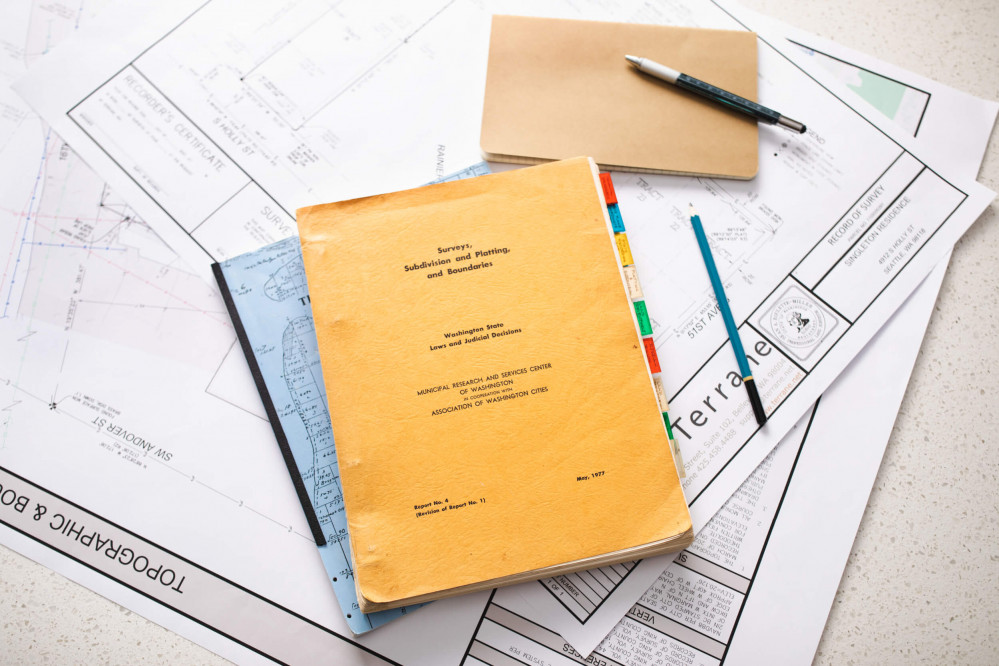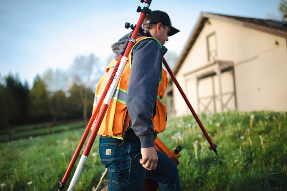
One example of using our Go Back data to develop a catch-all standard for projects is survey requests on an architectural project where the client requests only a boundary survey and a structure located on-site. This scope is generally used for design and permitting efforts on smaller addition projects. A typical approach for this survey scope would be to include only the structure's basic footprint, plotted relative to the boundary lines, to show current setbacks. While tracking this specific project type and the number of associated Go Back requests, we identified a common pattern: these jobs had the most reasons for a return visit. The primary reason was that the city/jurisdiction reviewer was requesting more detail and, almost always, required eaves and/or decks to be shown as well for overall lot coverage determinations/percentages/allowances. With this data, we ultimately concluded that on all projects that required the structure shown, we would also include eaves and attached decks. This decision has led to a dramatic reduction in Go Backs. It has translated to overall success on projects where a more limited project scope was needed while fulfilling all requirements for the client, homeowner, designer, and permit reviewer.